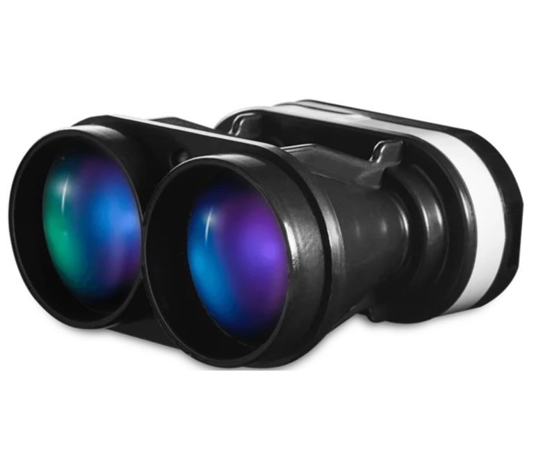
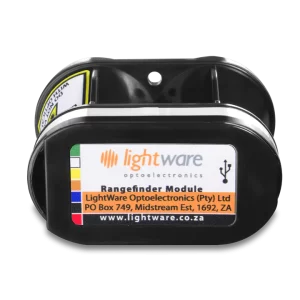
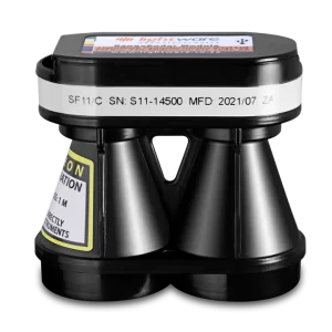
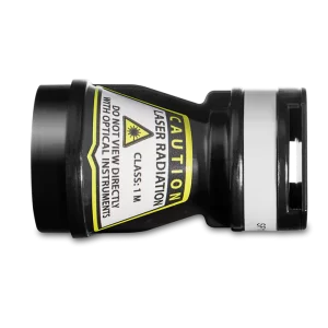
SF11 100m LIDAR Range Sensor
A wholesale discount is available for a minim. 20 items.
€307.00/item
Range: 0.2 … 100 m / 0.6 … 328 ft
Interfaces: USB, Serial UART and I2C
Weight: 29.96 g / 1.06 oz
Description
The light-weight SF11 laser altimeter is an essential addition to any unmanned aircraft that needs fast, accurate and reliable AGL altitude measurements. The SF11 laser altimeter makes accurate distance measurements to solid surfaces up to an altitude of 100 meters and water up to 40 meters.
Operating from a regulated 5 V DC supply, the SF11 includes analog, I2C and serial interfaces that can be easily connected to a Pixhawk flight controller or other standard processing platform. Each interface on the SF11 can be configured using a simple software menu that is accessible through the built-in, micro USB port. Settings can also be changed in situ using the command sets available for the serial and I2C ports.
The SF11 works by measuring the time it takes for a very short flash of laser light to travel to the ground and back again. The accuracy of the measurement is not affected by the colour or texture of the ground nor the angle of incidence of the laser beam. The SF11 is virtually immune to background light, wind and noise making it the ideal AGL altimeter for all kinds of terrain.
Specifications
- Compatible with Pixhawk, APM compatible and other flight controllers.
- Very compact and lightweight at only 35 grams!
- Accurate AGL altitude measurements on ground, foliage and water
- Ultra fast update rate of 20 rps (SF11/C) and 40 rps (SF11/B)
- Includes serial, I2C, USB and analog interfaces with programmable capabilities
- Easy to configure using the built-in menu and LightWare Terminal software
- Only 56.5mm wide
- Fully calibrated and ready to run
- Accurate, reliable altitude measurements in sunlight or dark conditions
- Not affected by: speed; wind; changes in barometric pressure; noise; ambient light; terrain or air temperature.
- ISO9001:2008 Certified
- Warning of FAA flight limits
- Precision photography
- Terrain following radar
- Assist with takeoff, landing, and hovering
- Measuring range of 0.2 to 100 m (natural targets)
